TORONTO · SUDBURY · SERVING CLIENTS GLOBALLY

Exploration data, turned into discovery

Ronacher McKenzie Geoscience integrates geological, geophysical, and geochemical data in 3D — so exploration teams target effectively, shorten timelines, and increase the odds of discovery.

Years combined experience
0 +
Integrated data interpretation
0 D
Specialist service lines
0
Offices — global reach
0

CONSULTING SERVICES

From exploration question to field-ready action

Six integrated service lines, each led by senior specialists — no juniors, no hand-offs, no fragmented delivery.

SVC/01 • CORE CAPABILITY

Data Integration, Analysis & Interpretation

All geoscientific data — geology, geophysics, geochemistry — integrated in 2D and 3D for interpretation in geological context.

SVC/02

Geophysical Services

Method selection, survey design, QA/QC, processing, and inversion modelling.

SVC/03

Project Generation

Independent mineral-potential review — regional or local, worldwide.

SVC/04

Exploration Project Management

Planning and execution of complete field programs, from mapping to drilling.

SVC/05

Technical Reports

NI 43-101 compliant reporting with resource estimation and QC analysis.

SVC/06

Lands Management

Practical management of land assets across multi-jurisdictional frameworks worldwide.

METHODOLOGY

How we think

STEP — 01

Acquire

Collect high-quality field and survey data suited to the geological question.

STEP — 02

Compile

Collect high-quality field and survey data suited to the geological question.

STEP — 03

Integrate

Collect high-quality field and survey data suited to the geological question.

STEP — 04

Interpret & Target

Collect high-quality field and survey data suited to the geological question.

GUIDING QUESTION

“What survey, dataset, or next step makes the most geological sense for this specific exploration challenge?”

MACHINE LEARNING IN EXPLORATION

Interpretable AI. Geologically validated targets.

Machine learning is only as good as the geology behind it. We combine advanced classifiers with robust spatial validation and SHAP-based explainability — so every ranked target can be interrogated, vetted, and defended.

Integrate — geological, geophysical, geochemical, structural, and drilling datasets in one model.
Predict & validate — advanced classifiers, tested with rigorous spatial cross-validation.
Explain & prioritize — transparent feature attribution to vet and rank every target.

PROSPECTIVITY MODEL — FEATURE IMPORTANCE

SHAP

Mag gradient

Structure dist.

As-in-till

IP chargeability

Lithology

0.88

0.74

0.61

0.52

0.38

CASE STUDY

Embedded specialist support for major exploration programs

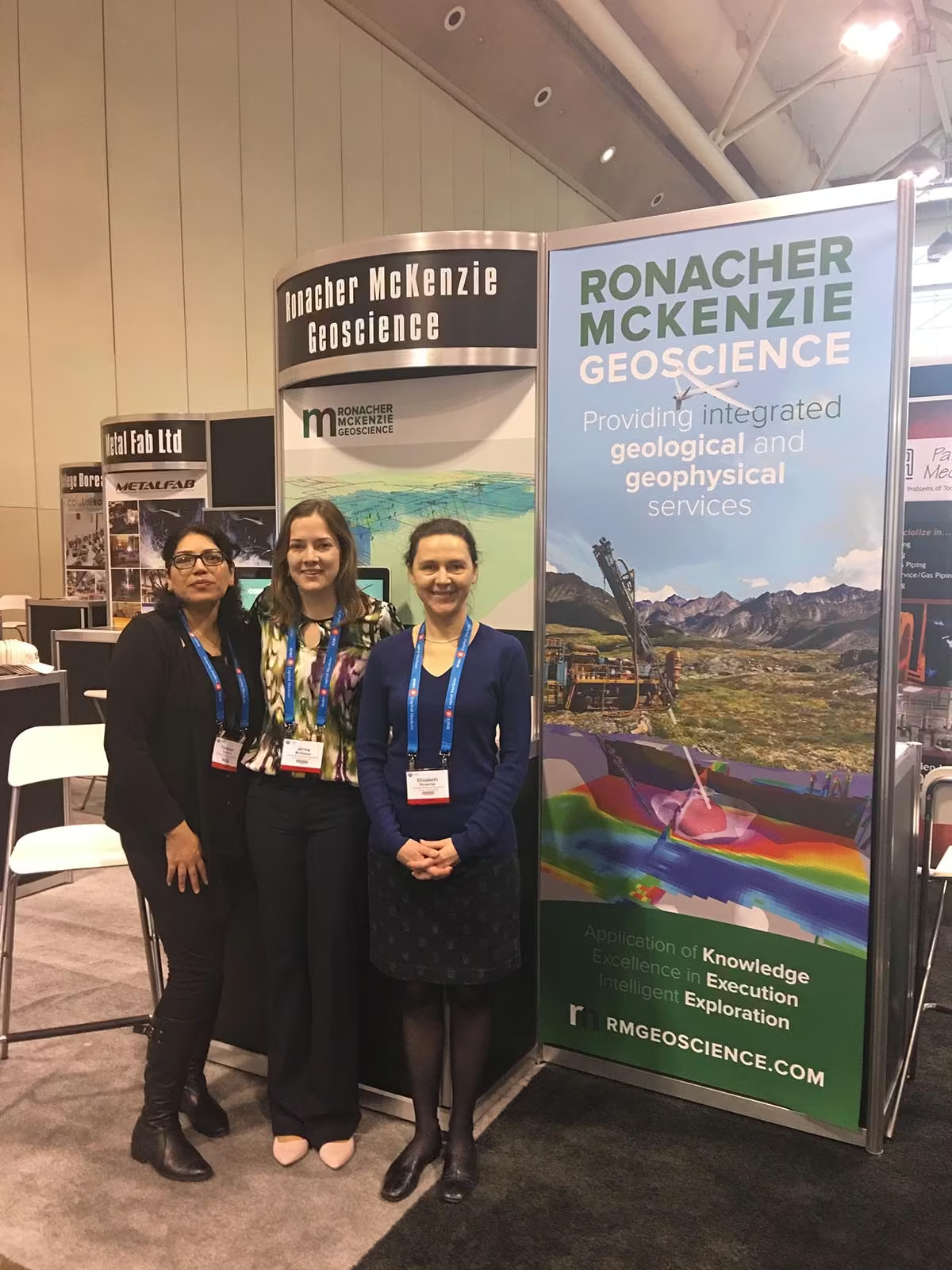
A multidisciplinary RMG team — geological, geophysical, geochemical, data-science, and field expertise — embedded with the client around one shared objective: extract maximum value from exploration data and improve targeting decisions.

Success comes from working together. RMG is most effective when its specialists work as an extension of the client’s own team.

01

Survey planning & management

Integrate — geological, geophysical, geochemical, structural, and drilling datasets in one model.

02

Data quality & modelling

QA/QC protocols, dataset validation, geophysical processing, fit-for-purpose inversion models.

03

Integrated interpretation & targeting

All exploration data combined in 2D and 3D to develop robust, ranked targets.

04

Capacity building & reporting

Specialist knowledge transferred while embedded; documented through technical reporting.

PERSPECTIVE

Insights from the field

When prospectivity models mislead — and how spatial validation catches it

Placeholder · 6 min read

Choosing the right survey method starts with rock properties, not budgets

Placeholder · 5 min read

The real cost of drilling an unranked target

Placeholder · 5 min read

GET IN TOUCH

Ready to discuss your exploration challenge?

Tell us about your property, your data, and your geological question. Our offices in Toronto and Sudbury serve clients globally.